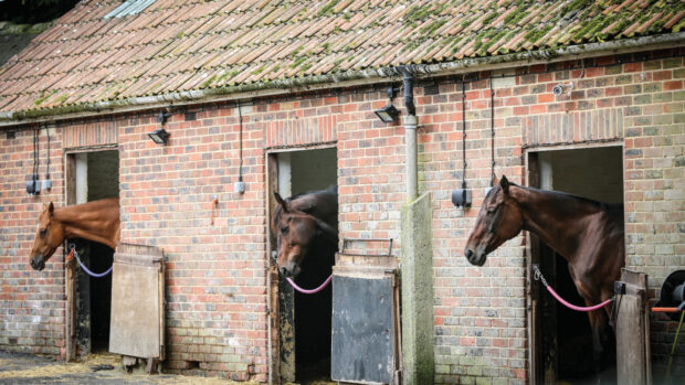
Volunteers are being sought by the British Horse Society (BHS) to help map the UK’s network of bridleways and coastal paths.
The BHS is asking riders to inform them of their local bridleways in a move to locate new routes and confirm existing ones, which currently may be categorised as paths by their local authorities.
Geographical information systems officer for the BHS Sarah Shackleton said: “Becoming a mapping volunteer requires as little or as much effort as you want.
“Every bit of help will expand our system, providing information that will defend, extend and promote the equestrian rights of way network.”
The BHS is gathering data for its digital map — EMAGIN — which it is hoping will enable riders to find and map every bridleway in the country.
Bridleways campaigner Catriona Cook said: “We don’t have a properly recorded bridleway map. The definitive map held by local authorities was drawn up when no one realised the significance of delineating paths from bridleways on the map.
“And now, under the Countryside and Rights of Way (CROW) Act 2000, in 16 years, anything not specifically labelled a bridleway on the definitive map will lose all right of way for riders.
“I’ve helped to get over 100 miles of bridleway back onto the definitive map, but there are so many more that need registering.”
The CROW Act states that the definitive map of 1949 should be closed to historical claims in 2026. Bridleways and historic rights of way not on the map will be lost forever.
BHS director of access Mark Weston echoed Ms Cook’s concerns: “We have a fear that not all bridleways will be recorded by 2026. I’m sure there are lots of bridleways out there that we’re not aware of.”
But a Defra spokesman said: “The Government recognises the needs of equestrians, who are not well served by the current access network and the difficulties that horse riders and drivers face with traffic on the roads.
“Defra guidance has encouraged local authorities to take specific consideration of horse rider needs in drafting their Rights of Way Improvement Plans.”
To become a BHS mapping volunteer, contact Sarah Shackleton at emagin@bhs.org.uk or tel: 01926 707812
This article was first published in Horse & Hound (9 July, ’09)