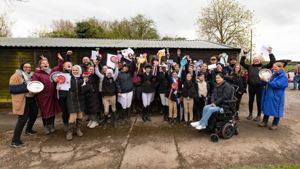
The British Horse Society (BHS) is on the hunt for more volunteers to take part in their ‘Britain on Horseback’ initiative.
The initiative aims to provide a comprehensive online map of bridleways for horse riders and carriage drivers throughout the UK.
The BHS’s Ceri Watkins said: “It is vital we get as many routes as possible mapped in order to improve off-road access for equestrians and to ensure safe riding.
“We hope to have the system online by the end of the year, but it will be a constant process to keep it up to date. Eventually, we hope to extend it to Northern Ireland and to establish a broad network and database.”
The Britain on Horseback initiative started in 2006. Since then, the BHS has received an overwhelming response from riders who want to be involved in helping to map Britain.
But despite doubling the number of volunteers on the project in the past two months, the BHS is keen for more equestrians to get involved.
Some riders log their routes onto a computer GPS system. Others simply mark their route on a traditional ordinance survey map and send it to the BHS.
To become a volunteer, or for further information, contact Ceri Watkins on 01926 707812 or c.watkins@bhs.org.uk